PS#5: Middle Tisza (HU)
This page is also available in Hungarian/Magyar ![]()
Led by REKK&KÖTIVIZIG


Description of the area
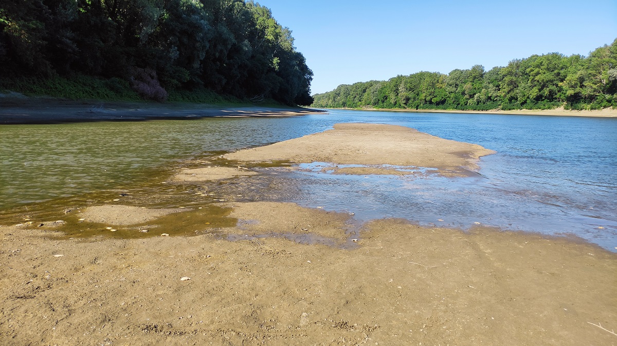
The pilot site is located in the flat region of the Tisza River Basin in the middle of the Hungarian Great Plain. The pilot area gets water from the Lake Tisza, controlled by the local Water Directorate (REKK&KÖTIVIZIG). The size of the area is 2,900 km2. The main water bodies of the pilot site are illustrated by the map below. The river Tisza has an average flow of 507 m3/s with large intra-year variation. The Lake Tisza is the biggest artificial surface water in Hungary. It is operated as a reservoir with two different operating regimes for the summer and winter seasons.
The area is characterised by low elevation (80 – 89 meters above sea level). Most of the area is used for crop agriculture, and there is a mixture of soils (alluvial, Chernozem, alkaline). The share of forests and natural vegetation is below 5%. Fish ponds are of economic importance for some of the settlements.
Main water governance challenges
The region faces seasonal or periodical water extremities. The major floods of the last 25 years triggered successful adaptation, but droughts continue to pose a regular and intensifying challenge. Allocation of water resources among competing uses reflecting increasing demand (drinking water utility, tourism, ecology, agriculture, industry, hydropower generation, micro-climate regulation) is an increasingly critical problem in the region. Allocation decisions are mainly administrative, without reliance on economic instruments and in-depth stakeholder consultation. There is also a lack of cost recovery for most water services.
Key stakeholders
Key stakeholder groups include citizens and civil society, farmers and their associations, municipalities, regional authorities, drinking water utilities, representatives of the tourism sector, anglers and their association and a hydropower plant.
InnWater governance innovation and Solutions to be experienced
- An improved water and landscape management decision methodology will be tested, incorporating not only geographical, hydrologic and land use related data, but also relying economics with connection to Tasks 4.2 and 4.3. Trade-offs among competing water uses are just as important for the analysis as the quantification of benefits provided by altered land use, enhanced water retention and more climate resilient solutions.
- Economic analysis of the complex system of competing water uses will be employed to identify the opportunity for improved water management.
- Implementation of multi-stakeholder conflict resolution steering towards policy realization.
